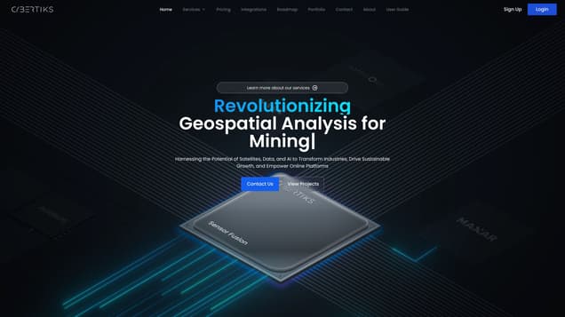
What is Geospatial Analysis for Agriculture?
Cybertiks is a company that specializes in leveraging remote sensing and agtech to provide precise agricultural analysis using satellite data and AI. Their expertise lies in revolutionizing AI data analysis for sustainable agriculture, carbon farming, and soil analysis.
Information
- Financing
- $4.60B
- Language
- English
- Price
- Official Pricing
Freework.ai Spotlight
Display Your Achievement: Get Our Custom-Made Badge to Highlight Your Success on Your Website and Attract More Visitors to Your Solution.
Website traffic
- Monthly visits--
- Avg visit duration--
- Bounce rate--
- Unique users--
- Total pages views--
Access Top 5 countries

Oops, no data.
Traffic source
Geospatial Analysis for Agriculture FQA
- What industries does Cybertiks specialize in?

- What can Cybertiks detect in the field of agriculture?

- What metrics can Cybertiks measure on bodies of water?

- What can Cybertiks monitor in the oil and gas industry?

- What can Cybertiks evaluate in the construction industry?

Geospatial Analysis for Agriculture Use Cases
Detecting total supply of specific natural and mineral resources in a particular location in the mining industry
Measuring water availability, nutrients, erosion, soil quality, pollution, and plague levels in agriculture
Detecting human activity and different electromagnetic traces with satellite radars in land classification
Measuring salinity, pH, temperature, nitrates, nitrites, phosphate, suspended solids, chlorophyll, and other metrics on bodies of water larger than 10 square meters in water quality analysis
Monitoring oil spills and leakages, applying Microseepage exploration for new sources, and analyzing clay minerals and sedimentary rocks associated with hydrocarbon traps in the oil and gas industry
Evaluating progress, monitoring waste deposits, and modeling land topography for large construction or infrastructure projects in the construction industry
