What is Esri?
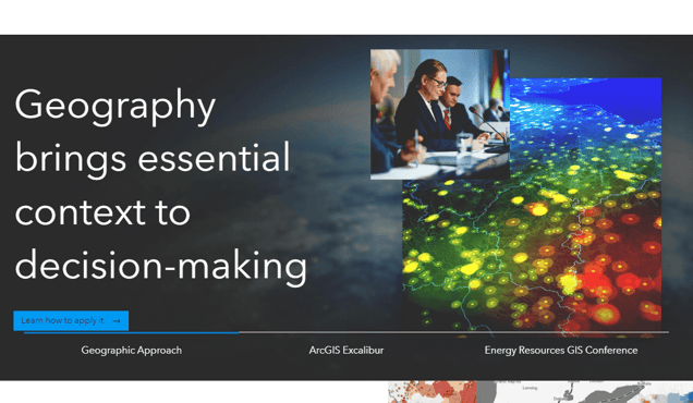
Esri is a robust and advanced geographic information system (GIS) that enables users to comprehend, analyze, and visualize intricate spatial data. It provides comprehensive maps, geospatial models, and data layers, allowing users to gain profound insights into their business and understand the market landscape. Through Esri's mapping application, users can effectively visualize data in maps, detect trends, and make well-informed decisions. Additionally, Esri offers advanced features for generating and distributing interactive maps and 3D scenes, as well as managing geospatial data. By utilizing Esri, users can effortlessly create visually appealing and informative maps that present their data in innovative ways. Whether it's for business planning, urban development, natural resource management, or epidemiology, Esri proves to be an invaluable tool for unraveling the narrative hidden within your data. With its powerful tools and user-friendly interface, Esri empowers users to effortlessly create and share meaningful insights that can drive their business towards success.
Information
- Price
- Contact for Pricing
Freework.ai Spotlight
Display Your Achievement: Get Our Custom-Made Badge to Highlight Your Success on Your Website and Attract More Visitors to Your Solution.
Website traffic
- Monthly visits2.66M
- Avg visit duration00:04:01
- Bounce rate54.08%
- Unique users--
- Total pages views9.62M
Access Top 5 countries
Traffic source
Esri FQA
- What are the capabilities of Esri products?

- What is ArcGIS?
- What is ArcGIS Online?
- What is ArcGIS Pro?
- What is ArcGIS Enterprise?
Esri Use Cases
MappingSee & understand data spatially
Field OperationsTake the power of location anywhere
Spatial Analytics & Data ScienceBring location to analytics
Imagery & Remote SensingIntegrate imagery into geospatial workflows
Indoor GISBring the power of GIS indoors
Real-Time Visualization & AnalyticsTap into the Internet of Things
3D GISAdd dimension to your geospatial data
Data ManagementManage, enhance & share your GIS data
Developer APIsBuild mapping & spatial analysis applications
ArcGIS OnlineComplete SaaS mapping platform